PROFESSORS CANTRELL AND PUTALIK ENGAGE 'ENVIRONMENTAL FUTURES' AT RECENT UVA FORUM
On October 14, 2022, The Environmental Resilience Institute at UVA hosted the Environmental Futures Forum bringing together faculty, students, alumni, and partners across the University to launch its new Grand Challenges programs in Environmental Resilience and Sustainability. Following opening remarks by Provost Ian Baucom and ERI’s Director Karen McGlathery, sixteen faculty members representing university-wide collaborations in this area presented flash talks on their current research efforts.
Among the presentations were four current research initiatives focused on climate resilience and sustainability with principal investigators from the School of Architecture:
— BAY MIGRATIONS
Brian Davis and Erin Putalik, Landscape Architecture
— DYNAMIC TERRAINS
Brad Cantrell, Landscape Architecture; with Ajay Limaye, Environmental Sciences
— TRANSCI LAB
Cassandra Fraser, Chemistry and Biomedical Engineering with affiliated appointment in the School of Architecture
— HEMP CO-LAB
Katie MacDonald, Architecture; with Osman E. Ozbulut, Civil Engineering and Lisa Colosi Peterson, Environmental Engineering
Putalik and Cantrell were on hand to share updates on their research and exciting next steps for advancing these projects:
BAY MIGRATIONS: CULTURAL ARTIFACTS OF RISK MITIGATION
Image
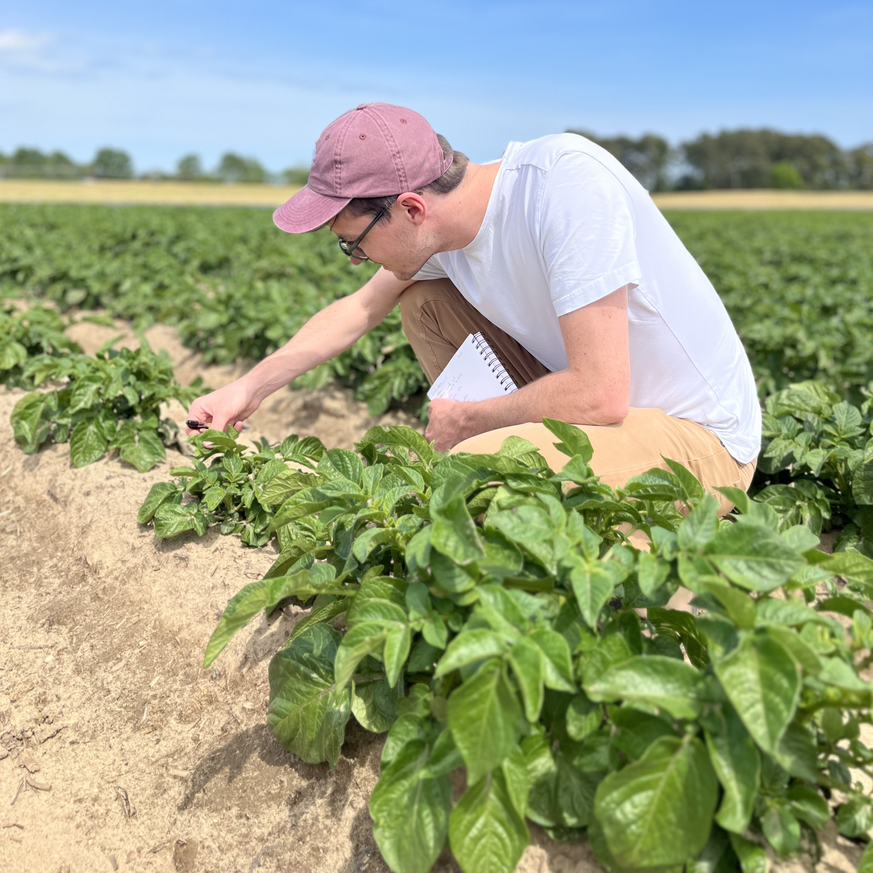
Putalik, who brings a historian’s framework to this project, is collaborating with landscape architect Brian Davis to examine rural communities and landscapes located on the Chesapeake Bay that are being impacted by accelerated sea level rise.
Putalik shared, “We wanted to look at some of these places—and specifically the treatment of the landscape—as holding important evidence of how people in this region have managed a very close relationship with water, and with sea level rise, for at least the last 250 years.”
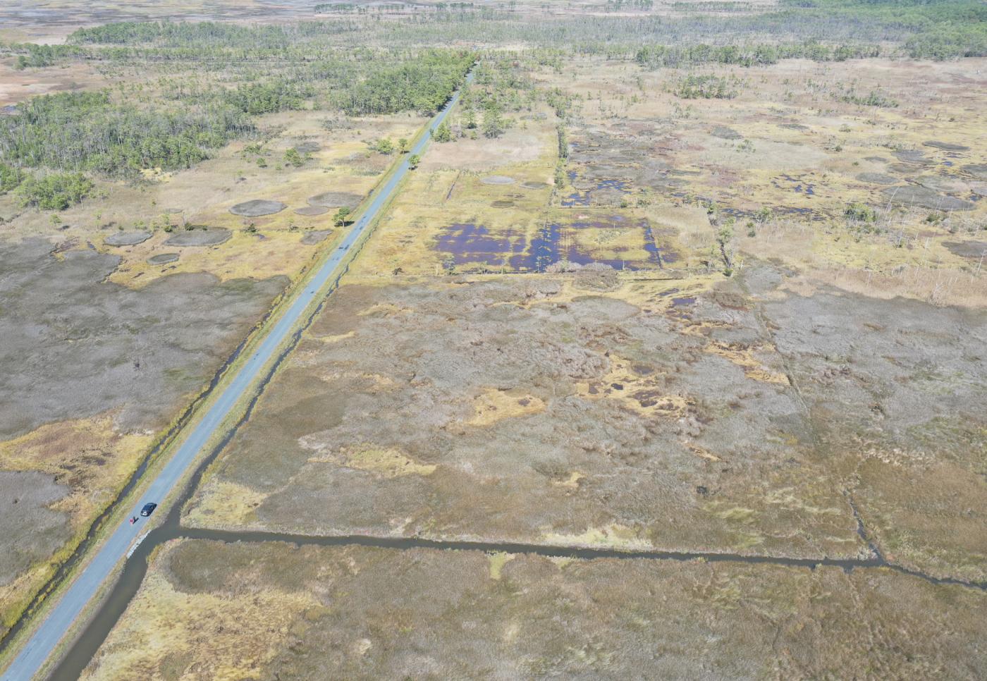
Their work thus far has focused on the bayside marshes of Accomack County, the northernmost county on Virginia’s Eastern Shore, studying, as they call it, “vernacular water control structures” such as historical ditches, embankments, drained ponds, and connections between land and water that have been physically altered such as enlarged and straightened guts and creeks.
Dating back to the first half of the nineteenth century and even further back to the eighteenth century, many of these ditches and embankments, developed for cultivation (such as strawberry cultivation) emboss the marshes of the Chesapeake Bay with their agricultural backstory.
Image
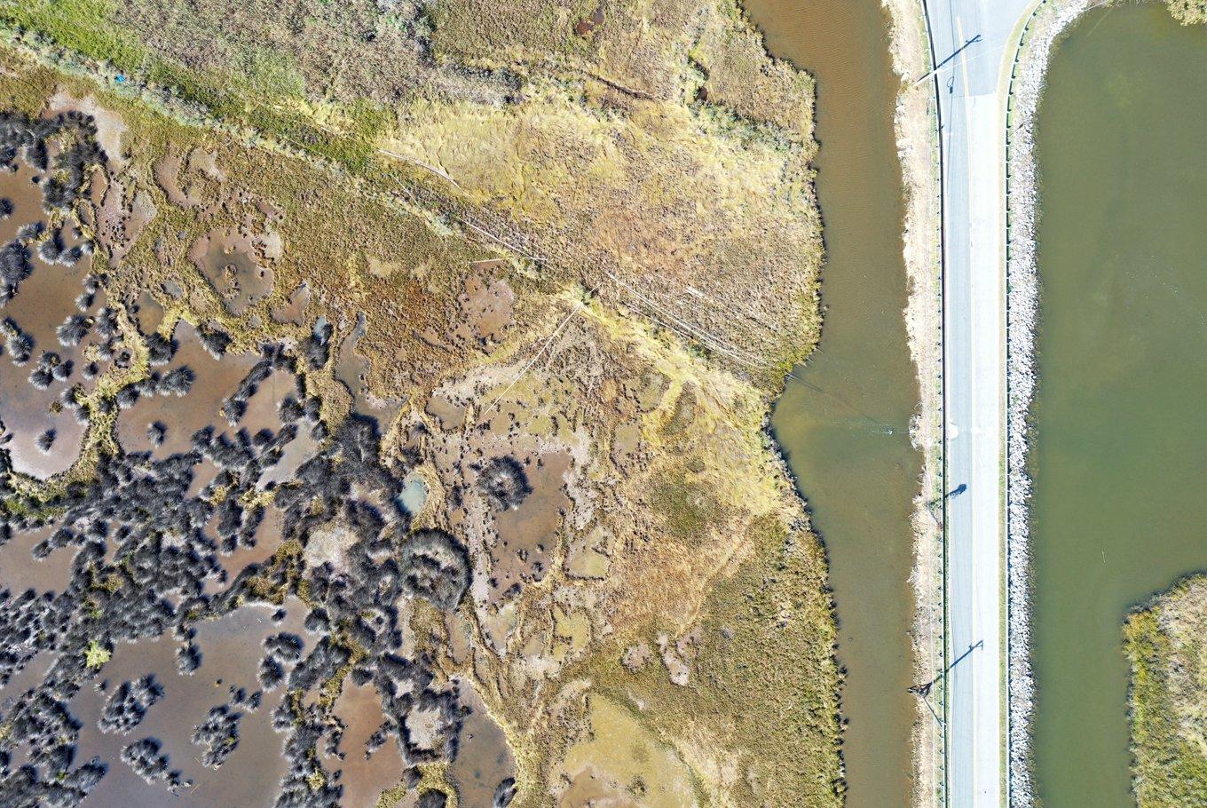
Using records such as coastal surveys and text descriptions, Davis and Putalik are developing a deeper and richer documentation of these “cultural artifacts of risk mitigation”—of how, why, and where these were often constructed. These artifacts also embody a narrative of how settlers and farmers in this area lived in negotiation with water for centuries. “We think these historical practices of small scale resilience have important lessons for how rural areas around the Bay are treated and valued in the future,” said Putalik.
Davis and Putalik have recently co-authored a long-form essay on this research titled “Bay Migrations” featured in Places journal. They are also beginning to collect the oral histories of farmers from the Saxis area of the Chesapeake Bay through interviews and continuing their work to develop historically and culturally rooted natural infrastructure proposals for three National Parks along the Virginia-Maryland coast, through a multi-year grant funded by the US Army Corps of Engineers’ “Engineering with Nature” program.
Image
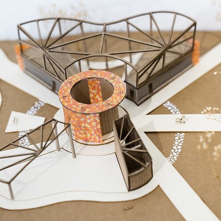
Dynamic Terrains is a research collaboration between Bradley Cantrell, Professor of Landscape Architecture in the School of Architecture, and Ajay Limaye, Assistant Professor in Environmental Sciences. They are developing models and prototypical methods that are integrating the science of sediment transport in aims of enhancing design speculation.
Working with graduate students across UVA, the research team has created a series of hydrological profiles for major rivers across the world. The profiles provide a performative assessment of each river, highlighting sediment load, discharge, flow velocity, delta size, peak and low flow, elevation change, among others.
They then use the profiles to calibrate the physical model, using sensing systems to monitor each of the parameters and provide a set of real-time spatial diagrams to help the team visualize expected performance.
These baseline models, utilizing what is called “a geomorphology modeling table” and both standard software and custom parametric modeling plugins, focus on the use of responsive technologies (sensing, monitoring, and actuation) in landscape architecture and environmental sciences.
Image
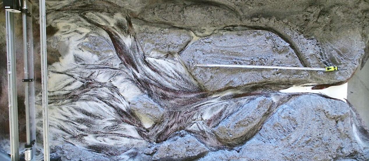
Cantrell described, “The intent of this work is to develop prototypes and a design language that enable designers and scientists to collaboratively create hydrologic landscapes that rely on this real-time data and can evolve through continual modification in relation to dynamic systems.”
The next phases of the work include the creation of infrastructural prototypes and applications of pattern recognition via machine learning.
Through October 31, 2022 ERI seeks feedback on investment opportunities for the University’s Grand Challenges focus on Environmental Resilience and Sustainability.
They seek input from the UVA community on:
CLIMATE COLLABORATIVE
Where would these collaboratives make a meaningful impact? What research and community needs would be advanced?
PRACTITIONER FELLOWS
What kinds of practitioner fellows would best support translation and climate solutions? How can practitioners advance UVA’s impact?
SEED FUNDING PROGRAMS
What research needs would be best met by the larger interdisciplinary CoLab program? How could we refine Spark and Rapid programs to promote team formation and time-sensitive research?
POST-DOC FELLOWS
How can we increase diversity in the application pool? What professional development would best support post-docs?