MICHAEL LUEGERING AND RESEARCH TEAM RECEIVE $3.25M GRANT TO ADVANCE NATURE-BASED PLANNING IN THE CHESAPEAKE
Image
The University of Virginia School of Architecture was recently awarded a $3.25 million grant by the US Army Corps of Engineers to support the monitoring and adaptive lifespan management of nature-based infrastructure in the Chesapeake Bay region. Urban Planning with Integrated Natural Systems (UPWINS) is an early-stage research and development project that will bring together efforts between multiple universities, local organizations, and federal partners to verify the impact of its research on sites that call for innovative and adaptive approaches to flood control and ecosystem management.
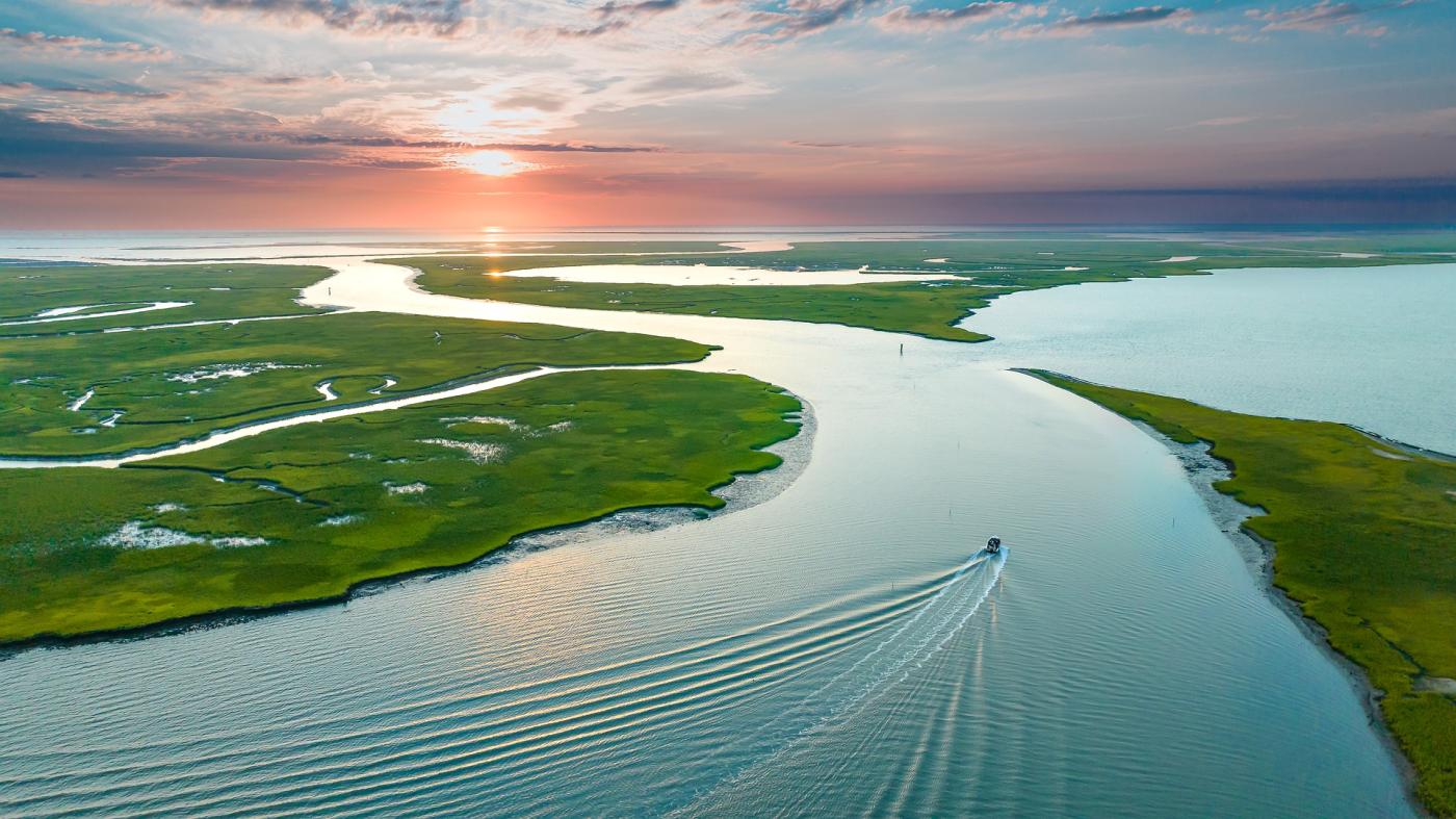
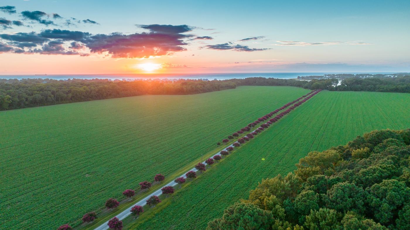
The project will study sites in the Chesapeake Bay, the largest estuary in North America, covering 64,000 square miles, with a watershed that encompasses parts of six states — Virginia, West Virginia, Pennsylvania, New York, Maryland, and Delaware — and the entire District of Columbia. The bay includes more than 150 rivers and streams, is home to more than 300 species of fish, shellfish, and crab species and a wide array of wildlife, and generates more than 10 billion dollars annually through agricultural production. With over 17 million people living in this area, the estuary presents an immense opportunity to study a landscape deeply impacted by the accelerated impacts of climate change with tremendous ecological, cultural, economic, historic, and recreational value to the region and the world.
“This project presents a unique partnership between academic institutions and federal agencies,” said principal investigator Michael Luegering, Assistant Professor of Landscape Architecture. “Our work represents three key areas of research focused on nature-based principles defined by the 2022 congressional white paper submission that resulted in the multi-million dollar appropriation within the Federal Energy and Water budget.” Over two years, the research team will work closely with the US Army Corps of Engineers (USACE) and their Engineer Research and Development Center (ERDC) to develop, study, and share open-source tools and guidance to manage nature-based infrastructure. “We are thankful for the opportunity to bring together expertise and experiences to help shape the future of the Chesapeake. The investment in this research by our government recognizes both the promise and need for alternative approaches to ecosystem design and management.”
Image
While examples of nature-based infrastructure are not new, more recently in 2010, USACE established its Engineering With Nature (EWN) initiative to advance opportunities to implement nature-based solutions for civil works projects across the United States, using principles and practices that establish a more harmonious relationship between the natural and the engineered. Since then, districts from Galveston to Philadelphia, and San Francisco to Buffalo, have been studied and analyzed, through the design and development of constructed projects to test the ecological benefits of nature-based infrastructure (NBI).
Central to their work, Luegering and his UPWINS research collaborators will address the marked difference between NBI (which is designed to change over time) and traditional infrastructure (whose forms specifically do not change over time). Without current management guidance in place for infrastructure that adapts to changing conditions, the team will help to build USACE’s future capacity to evaluate NBI performance. To do so, they will track crucial characteristics of NBI systems such as vegetation growth patterns, indicator species, and plant health measurements.
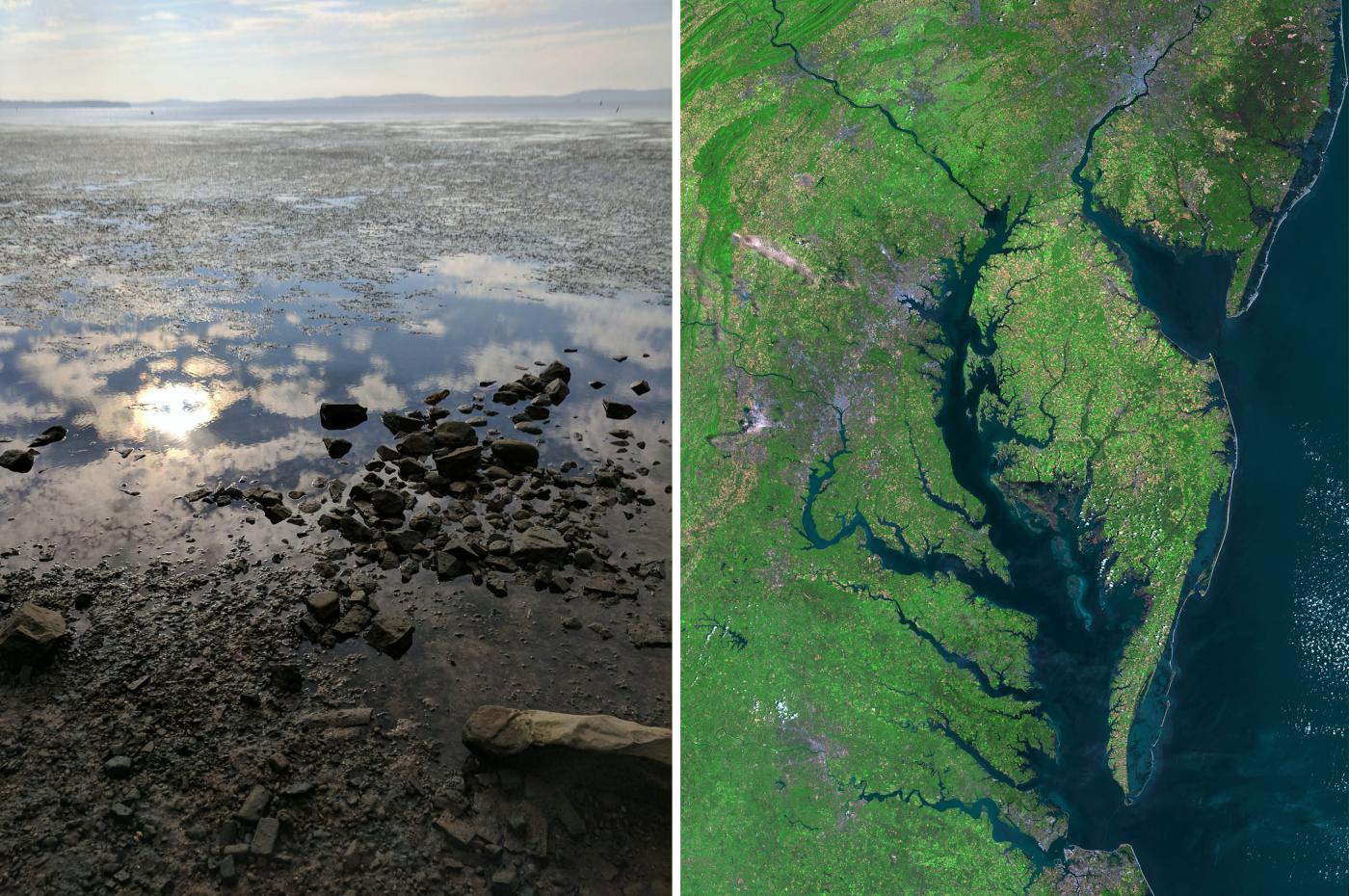
Closely studying vegetation over time and at various geographical scales will allow the team to assemble, acquire and process robust data sets that can then be used to design and monitor situated NBI projects and larger, regional hydrologic systems. Their data sets will be comprised of the coupling of remotely sensed data (such as LiDAR and spectral sensing) and automated feature extraction algorithms — methods the team has already been developing over the past several years, particularly through test plots established at UVA's Morven Land Lab. Continuing to use this site as a primary facility for test plots, the project will also coordinate testing across a number of additional locations: The Natural Resources Conservation Services Cape May Plant Materials Center, an agency of the United States Department of Agriculture; Chincoteague/Assateague Barrier Island; and the Black Water National Wildlife Refuge, in conjunction with the Manokin River Estuary.
Image
Across these locations, the team will use a comprehensive suite of advanced airborne and spaceborne sensors to “see” and “track” key indicator plant species with higher spatial and temporal resolution, and greater spectral coverage. Establishing an identification method that uses both LiDAR data for vegetation geometry and structure, and Hyperspectral (or multi-modal) data to track plant chemistry, the researchers will create an open-source, evolving library of what they have termed — 'Fundamental Signatures' (FS) — signatures that aim to provide information about how specific plant species respond to seasonal variation and environmental disturbance.
They will study the season-to-season presence and functioning of these species, including their migration, proliferation, and decline. Collectively the multi-scalar data will be synthesized and refined to provide insights into the changing conditions of the estuary, its overall ecological health, and the responsive performance of NBI. For USACE, the investment in the team’s groundbreaking research offers the opportunity to ascertain critical knowledge that sheds light onto whether the nature-based infrastructure projects that are being developed are functioning correctly or achieving desired ecological and societal benefits.
“This exciting research not only advances innovative civil works projects in the Chesapeake region, but also delivers important social, environmental, and economic benefits to the communities that live there, helping them better see and understand the changing landscape that they call home,” said Malo A. Hutson, Dean of the UVA School of Architecture. “Michael’s work, with a full team of amazing collaborators, exemplifies the power of partnerships to shape the future of climate resilience through sustainable infrastructure.”
Project Team:
Michael Luegering, PLA
Assistant Professor of Landscape Architecture
University of Virginia School of Architecture
William F. Basener, Ph.D.
Professor of Data Science
University of Virginia School of Data Science
Jarlath O’Neil-Dunne
Research Associate and Director of Spatial Analysis Laboratory
University of Vermont Rubenstein School of Environment and Natural Resources, with USDA Forest Service Research and Development
Peter Del Tredici, Ph.D.
Senior Research Scientist Emeritus
The Arnold Arboretum of Harvard University
Michael Tantala, P.E.
Principal
Tantala Associates, Engineers and Architects
Christopher Miller
Manager and Conservation Agronomist
Cape May Plant Materials Center (U.S. Department of Agriculture-Natural Resources Conservation Service)